Geophysical Survey and Planning Developments
Geophysical survey can inform the planning process and help a development to avoid impacting upon archaeological remains.
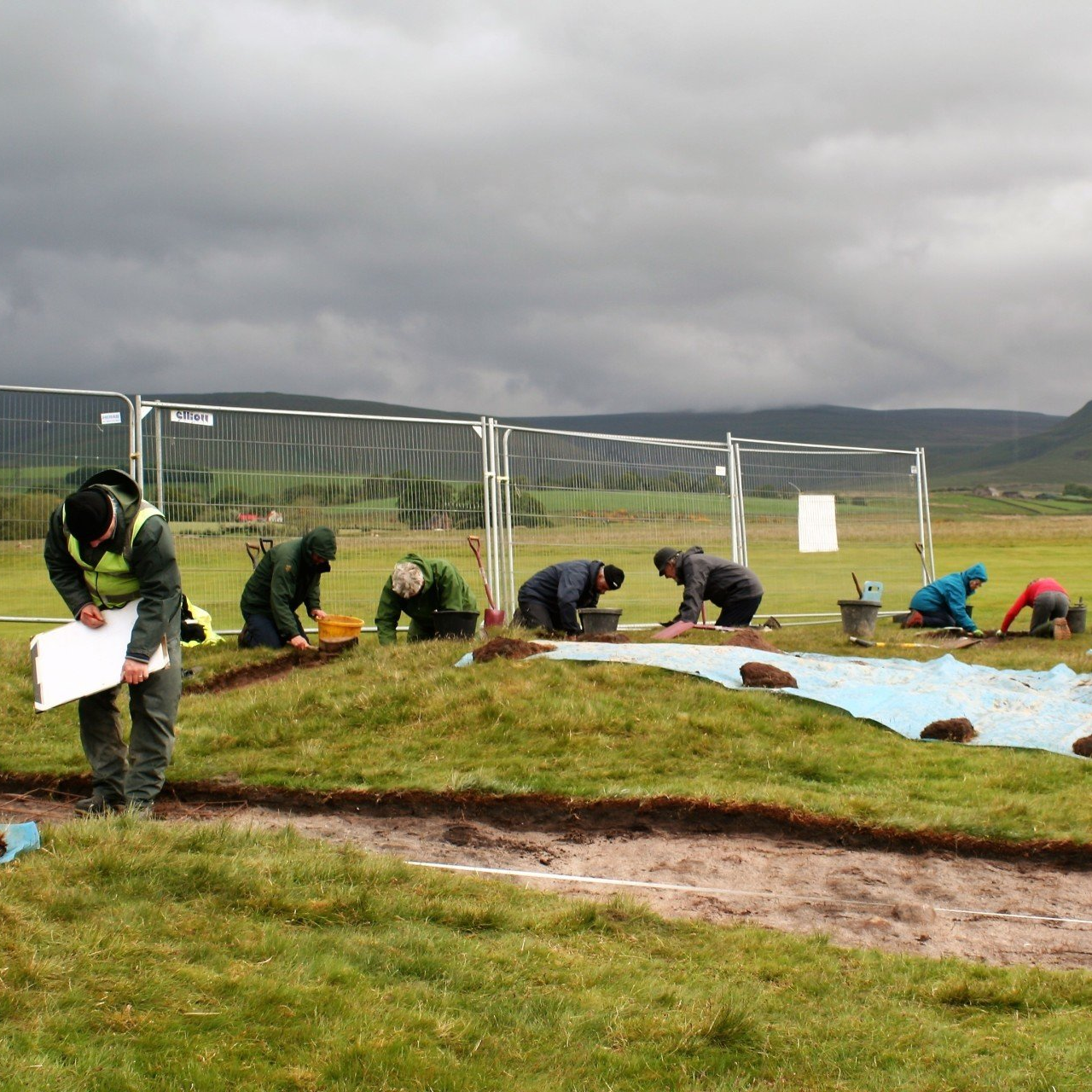
Geophysical survey is a rapid and cost-effective way of informing developers and land agents about potential buried archaeological remains within development sites, which are hidden from view. A survey can identify the potential risks to development from unexpected archaeological remains, and if undertaken at an early stage, can allow the flexibility to design out areas where dense and complex archaeology is present or to explore different route options.
There are many types of development projects that can benefit from geophysical survey, including housing and commercial developments, road construction projects, mineral extraction sites, pipeline projects and renewable developments, such as wind and solar farms. In the long term undertaking a survey can save both time and money for developers in all sectors by reducing the risk of unexpected discoveries on a site. It can be especially effective if completed in combination with a constraints report or desk-based assessment.
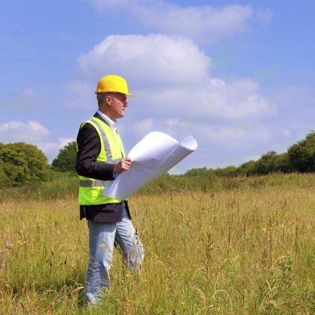
Eden Heritage has extensive experience of geophysical survey where it is often required to support planning applications or to inform master planning. It is particularly suitable for greenfield development sites to identify the locations of potential 'hidden' buried archaeological remains and can often be used to reduce the requirement for more costly archaeological trenches or excavations.
• Early identification of archaeology
• Rapid & inexpensive method
• Non-invasive, low-impact survey
• Detects a wide range of features
• Can provide a ‘map’ showing buried archaeology & other features
Could a geophysical survey help provide information about your development site? Contact us for further information or a quotation for a geophysical survey