Prehistoric Monuments at Brackenber Moor
A golf course with a hidden history

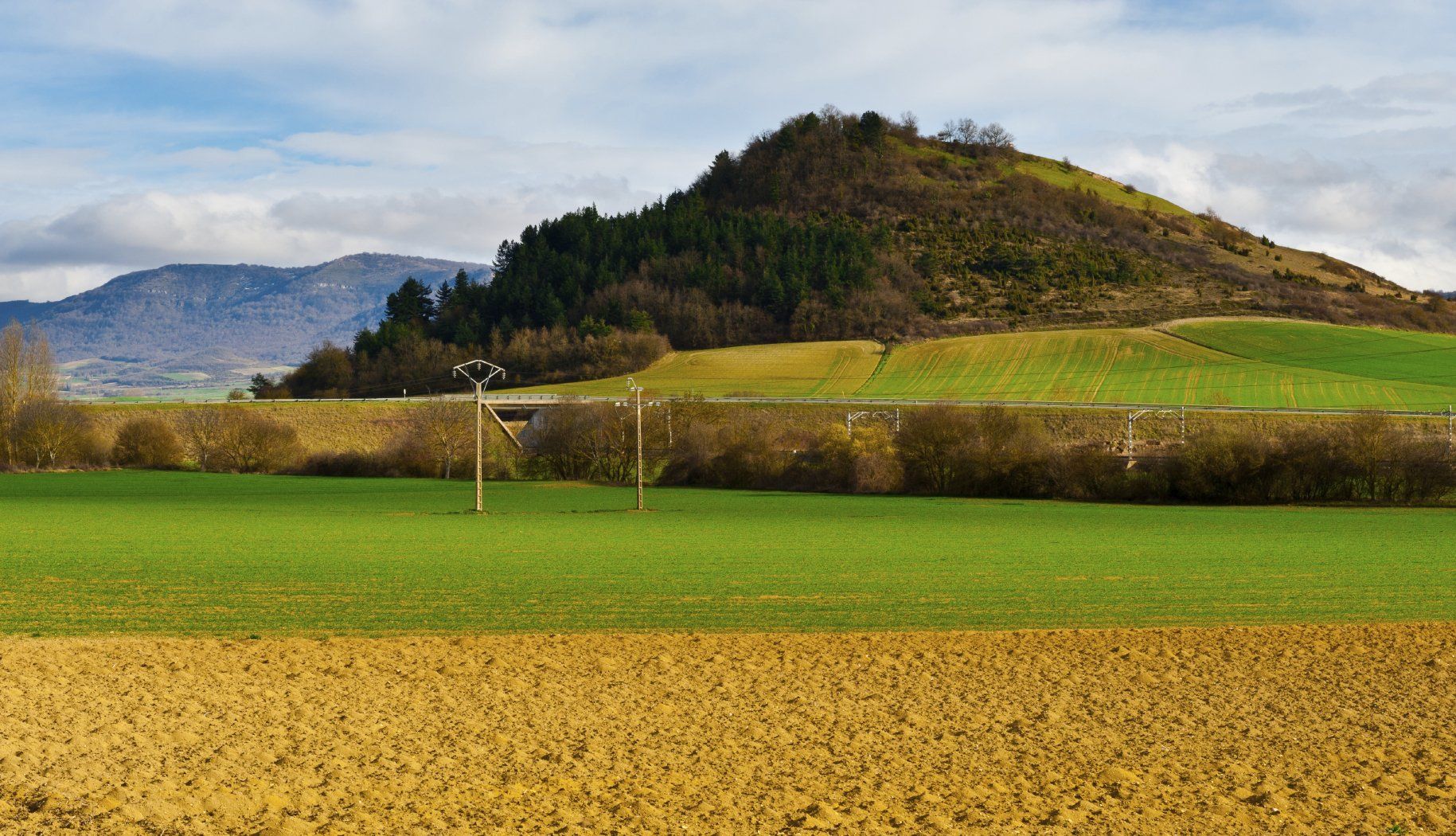
Brackenber Moor is an attractive area of unenclosed moorland, situated c . 3km to the east of Appleby-in-Westmorland in the Eden Valley. The land is managed as a traditional open common, with local farmers exercising grazing rights. Parts of the moor are also a popular golf course managed by Appleby Golf Club, which is famous for its dramatic open views of the Pennine fells to the east. However, golfers enjoying the scenery may be oblivious to the fact they are playing in a prehistoric landscape, which has been utilised for at least four thousand years.
Brackenber Moor has certainly been occupied from at least the Bronze Age period ( c .2,500-700 BC) but recent archaeological investigations have revealed even earlier activity. A series of probable Bronze Age burial cairns lie on a ridge southeast of the Appleby Golf Club House, all of which are Scheduled Monuments (protected by law). Excavation on the edge of one of the fairways has also identified the site of a previously-unknown Bronze Age cemetery. This included a series of pits containing cremated human remains, surrounded by a circular bank and ditch, and sealed by a stone cairn. The cremations of at least five individuals were accompanied by an Early Bronze Age collared urn and a smaller accessory vessel. Another Bronze Age cairn contained an assemblage of Mesolithic and Early Neolithic flint tools, which are believed to pre-date the monument, and demonstrate that Brackenber Moor has been utilised for a considerable period.
An earthwork enclosure with the fanciful title of ‘The Druidical Judgement Seat’ was also investigated by Appleby Archaeology Group and found to be an Iron Age farmstead ( c . 800 BC – c . 100 AD). The earthwork occupies a natural headland on the southwest side of Brackenber Moor with steep banks on three sides, and a single entrance through a surrounding bank and ditch. The geology of the area is New Red Sandstone and George Gill, which lies next to the farmstead, is a Site of Special Scientific Interest (SSSI). This is well known by geologists because of a series of rocky crags which were laid down in the Permian Period, including several wind-blown caves which could have been utilised in prehistory for storage or shelter.
The A66 to the south of Brackenber Moor , follows the course of the High Street Roman Road across Stainmore, linking the Roman forts of Bowes and Brough, and forming part of a strategically important route between York and Carlisle. It has therefore been speculated that Brackenber Moor was also the site of a Roman signal station or camp, being one of a chain of signal station sites which are believed to follow this road. However, Roman activity has yet to be identified, and archaeological investigations have so far only revealed sites that are very much older. Nevertheless, research continues at Brackenber Moor and may produce more surprises about this part of the Eden Valley.